Used LIDAR High PRF LISAF #147701 for sale
URL successfully copied!
Tap to zoom



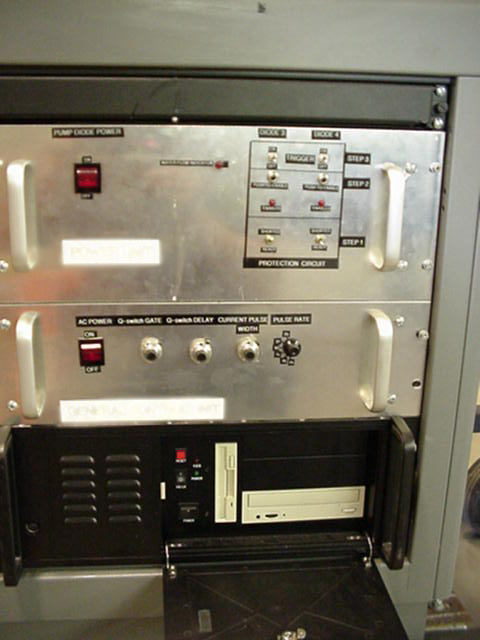

ID: 147701
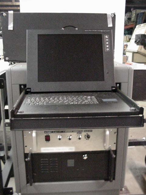
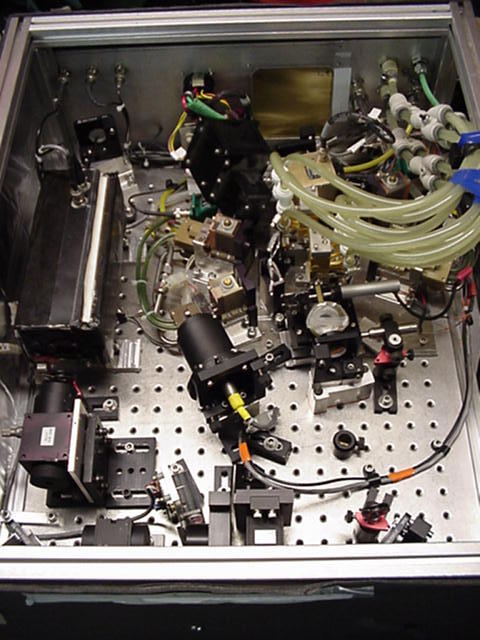
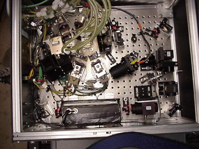
Diode pumped laser for water vapor differential absorption
Includes manuals, software, documentation
Injection seeded for single frequency operation.
LIDAR High PRF LISAF (Laser Imaging Scanning and Altimetry with High Pulse Repetition Frequency Light Imaging and Ranging) is a state-of-the-art laser imaging equipment that combines laser scanning and altimetry to obtain detailed measurements of terrain or other objects and features on the ground or in the air. Created to meet the requirements of modern-day mapping, surveying, and resource monitoring projects, LIDAR High PRF Light imaging and ranging system is a powerful tool for collecting data on features in a local area. The unit main component consists of a fixed platform with an external laser transmitter, receiver and tracking optics. The laser transmitter emits modulated infrared laser light pulses in multiple directions, with each pulse taking about one second to travel from the transmitter to the receiver. The receiver then collects the time-of-flight data from the returning laser pulses, creating a discrete point cloud of the objects and features in the environment. The machine is also equipped with a Light Detection and Ranging (LIDAR) sensor which is capable of measuring the distance from the platform to the object or feature at each data point. This allows for accurate calculations in 3D space, allowing for precision measurements that would not be achievable without the use of a LIDAR tool. In addition to the laser and LIDAR asset, the platform includes a navigation and heading sensing model which is capable of detecting the azimuth and elevation of the platform. This helps with accurate navigation and position calculation of the platform, ensuring that all data sets are gathered from the same viewpoint and within a given distance from the platform. The entire equipment is designed to be compact and lightweight to allow for easy transport and deployment, as well as for a swift scanning rate to maximize the data gathering efficiency. It is also equipped with powerful data acquisition and processing capabilities, allowing for quick and efficient data storage, analysis, and visualization capabilities. LIDAR High PRF Light imaging and ranging system is a powerful and versatile tool that is widely used in various industries, including surveying and mapping, 3D modeling, land monitoring, hydrographic surveying, environmental studies, and geotechnical projects. The High PRF Light-imaging unit is a reliable and cost-effective way of collecting precise measurements of an environment and its features, offering invaluable insights that would not be achievable with any other machine.
There are no reviews yet


